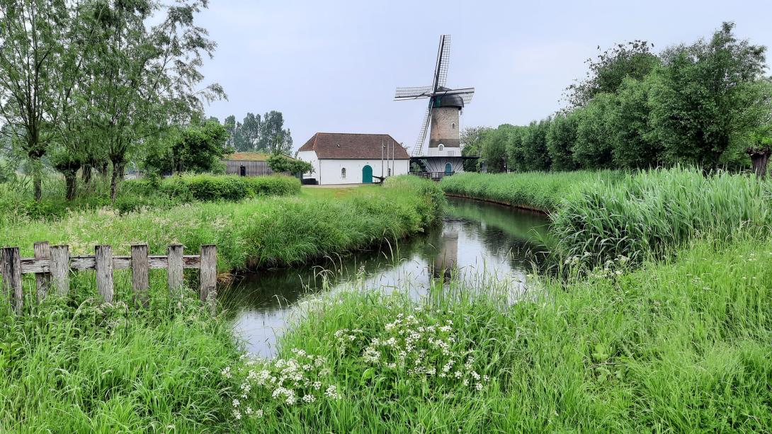
This case study is located in the wider river basin of the Meuse in south-east of the Netherlands, in the eastern part of the southern province of Brabant in the Netherlands. The project area is situated along the Aa, the main river in the largest regional catchment of Aa en Maas. Along the river the towns of Veghel and Erp are situated.
Case study area
15 km² catchment
Climate and soil
Atlantic central bio-region
Sandy soils
Sponge measure
Groundwater
(Removing drains)
1. Challenge
The area is characterized by intensive agriculture (crops and livestock). Extensive artificial drainage of agricultural land has been carried out because excessive wet soils are more difficult for farmers to access and cultivate. Over the years, the river system has been heavily modified to provide an efficient network of drainage and water supply, causing challenges for aquatic and riparian ecosystems, but also combatting drought events in the region.
2. Type of sponge measures
Removing drains, reducing depth of ditches and streams, increasing surface water levels, reducing irrigation abstraction from groundwater and surface water.
3. Monitoring
High-density, innovative real-time online monitoring of water quantity and water quality has been implemented since 2018 to inform participating landowners about the impact of their farming practices on soil and water quality.
4. Stakeholders
There is a large and diverse group of stakeholders related to this integrated water management and with limited space available there is a clear need to see beyond single measures to a wider catchment perspective of linking individual measures into overarching strategies, that take into account both the need to retain and provide water to end-users and at the same time improve the water quality and ecological status. There is a high interest from the case owner, the regional water authority Aa and Maas, to further upscale visioning of sponge strategies in co-design with local stakeholders, including provincial government, other regional water authorities in the region, Wereld Natuur Fonds (WWF-NL) and local landowners / farmers organisations.
The case study serves as a SpongeLab, emphasising participatory processes in the design and evaluation of sponge strategies (combinations of sponge measures at the landscape scale). Workshops will be conducted to generate spatial scenarios and collaboratively assess potential impacts. We will explore combinations of linear and area-based measures to optimise and improve overall landscape resilience to climate extremes and improve the ecological values in the area.
5. Reference information
Water Authority Aa and Maas (case study owner)
Water Authority Rijn en Ijssel
Wageningen University and Research
6. Updates
First SpongeLab Workshop (16 May 2024)
Second SpongeLab Workshop (21 November 2024)
Third SpongeLab Workshop (8 October 2025)
Video of the third SpongeLab workshop, where Dutch stakeholders co-design future "sponge landscape" visions using the GeoDesign tool.