The Lèze catchment (350 km², about 34,000 inhabitants) in south-west France is located in a hilly pre-mountainous area (Pyrenees), and is part of the larger Garonne catchment. The Lèze river has very marked seasonal variations in flow. A large irrigation dam in the upper part of the basin and 11 small dams along the river control the flow. The case study is located in regions that signed the Mission Charter of the EU Mission on Climate Adaptation.
Case study area
10 km² catchment
Climate and soil
Mediterranean North
Clay soils
Sponge measure
Surface water
(Buffers strips, floodbreak hedges)
1. Challenge
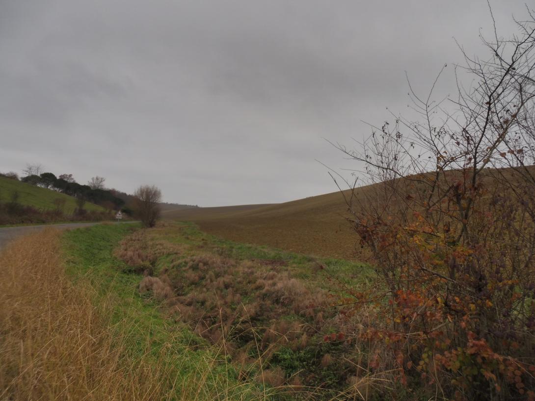
Land use has changed from traditional cattle and sheep farming on small meadow fields bordered by hedges to large open fields, resulting in increased soil erosion. The area is facing a high risk of flash floods, as well as soil erosion and mudslides, damaging roads, affecting water quality, the river hydromorphology, and the agronomic potential of agricultural plots.
SpongeScapes aims to develop a comprehensive sponge strategy for the Lèze and apply it primarily to a sub-catchment (Le Rosé, 17,000ha), located upstream of the town of Lézat-sur-Lèze, to address recent mudslides (spring 2023). The ultimate goal is to improve resilience to flash floods and erosion, and to maintain agricultural potential.
2. Type of sponge measures
Buffer strips, floodbreak hedges.
3. Monitoring
Data is available on mudslide locations from 2009 to 2016. This includes meteorological and hydrological data, observed damage, eyewitness accounts, hydrological data, etc.
4. Stakeholders
The Mixed Syndicate of the Lèze Valley, a French public agency for the management of the aquatic environment and floods (SMIVAL), representatives of the agricultural sector, municipalities and researchers. SMIVAL, the case owner, is committed to fostering stakeholder dialogue to agree on a sponge strategy at the sub-basin scale. Scaling up to the whole catchment scale will then be considered.
The case study thus serves as a SpongeLab, emphasizing participatory processes in the design and evaluation of sponge strategies (combinations of sponge measures at the landscape scale). Workshops will be conducted to generate spatial scenarios and collaboratively assess potential impacts. We will explore combinations of linear and area-based measures to optimize erosion reduction and improve overall landscape resilience.
5. Reference information
Mixed Syndicate of the Lèze Valley (Case study owner, a public Agency for the management of the aquatic environment and floods)