Riseholme case study is located in the Anglian River Basin District (RBD), in the east of England. It is part of the catchment of the River Witham, which covers an area of approximately 3,000 km² and a population of around 375,000 people. The catchment is predominantly rural and there is high grade agricultural land in the Fens. The site is an example of the unique chalk streams. It is part of the Riseholme College Campus which is part of the University of Lincoln.
Case study area
4 km² stream
Climate and soil
Atlantic central
Calcareous soils
Sponge measure
Surface and groundwater
(Online ponds)
1. Challenge
The catchment has a history of flooding. Our objective is to better understand how the ponds allow for infiltration and reduce flood peaks making the site effective at managing flooding downstream. There is also an interest in how management (e.g., vegetation trimming) might affect sponge functions.
2. Type of sponge measures
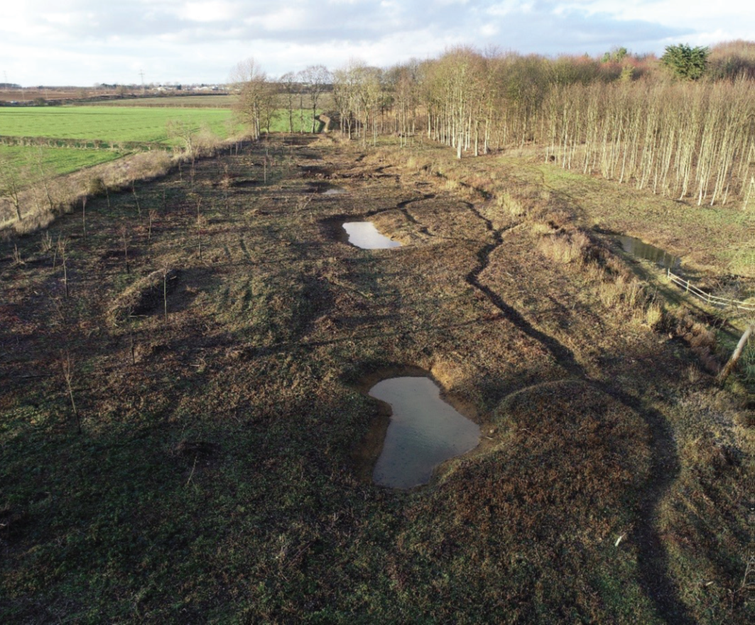
Online ponds. The site consists of 7 ponds, several different side channels, leaky barriers, in-channel and floodplain vegetation. The Riseholme site in particular is situated on a Jurassic limestone aquifer. This aquifer within Lincolnshire is quite shallow. Notably high groundwaters tend to be seasonally driven.
3. Monitoring
Available data include monitoring precipitation, water levels and flows in and out of online ponds since 2018, where the case owner is the UK Environment Agency. Calibrated hydraulic and geomorphic models are available. A combination of low-cost and high-tech monitoring efforts and the 2023 change of online pond vegetation management will allow before/after comparison of Sponge function (and co-benefits).
4. Stakeholders
Stakeholders include the Environment Agency (case owner), education and research institutes (University of Lincoln, UKCEH), local Communities (Riseholme), Private sector (landowners, farmers) and inhabitants.
5. Reference information
Case study owner: