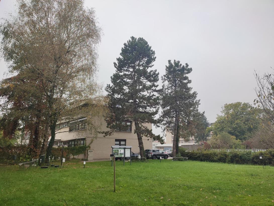
The Gradaščica catchment in Ljubljana is located in a hilly pre-alpine region, with elevations ranging from 300 to 1000 meters above sea level. Approximately 70% of this area is forested, mainly with broad-leaved and mixed forests, which play a crucial role in the local ecosystem and water management. Within SpongeScapes, we are investigating how trees reduce rainwater run-off, which is crucial in flood-prone areas.
Case study area
159 km² forested catchment
Climate and soil
Alpine South bio-region
Sandy clay soils
Sponge measure
Surface and groundwater
(Woodlands)
1. Challenge
This area, known for its torrential river characteristics, especially in the headwaters, poses a significant flood risk to downstream urban areas, including Ljubljana. Our objective is to quantify the reduction in stormwater runoff achieved through rainwater interception by trees. Focusing on pine and birch species, we're measuring rainfall interception and throughfall, raindrop size distribution and soil moisture temporal dynamics.
This case study research is not only key to evaluating the sponge function of forests but also holds significant interest for local stakeholders and the general population in terms of reducing flood and drought risks, as well as mitigating related issues like soil erosion.
2. Type of sponge measures
Land use change. Forests have an important impact on the water balance, reducing runoff and changing groundwater levels. Through modelling and field measurements we will evaluate the influences in land use change in the catchment on runoff and water retention.
3. Monitoring
The comprehensive high-frequency and long-term data collected in the Ljubljana study plot are invaluable for understanding soil water retention and assessing how forests function as natural sponges. Using the long-term measurements from three meteorological and three hydrological stations in the catchment the findings from the plot study will be extended to the entire catchment. However, this process requires great care due to the high spatial variability of the catchment characteristics, including variabilities in soil, tree species and terrain.
4. Stakeholders
Landowners,farmers, local governments (Dobrova - Polhov Gradec, Ljubljana), National Forest service, Fisheries Research Institute.
5. Reference information