The Agripolis site (see also related case studies 09 and 10) is located near the Venetian Pre-Alps, crossed by the Leogra and the Timonchio rivers and artificial channels crucial for historical manufacturing, irrigation, and runoff control. The case study is located in the Veneto region that signed the Mission Charter of the EU Mission on Climate Adaptation.
Case study area
0,0002 km² urban site
Climate and soils
Mediterranean mountains bio-region
Silt loam soils
Sponge measure
Surface and groundwater
(Rain garden)
1. Challenge
In Veneto, Italy, floods, landslides, and erosion have significantly affected the region. Municipalities face increased flood risks due to rising land consumption, more in northern Italy. Santorso and Marano Vicentino, in Vincenza's north, use sponge measures to counter pluvial flooding and improve rainwater management.
2. Type of sponge measures
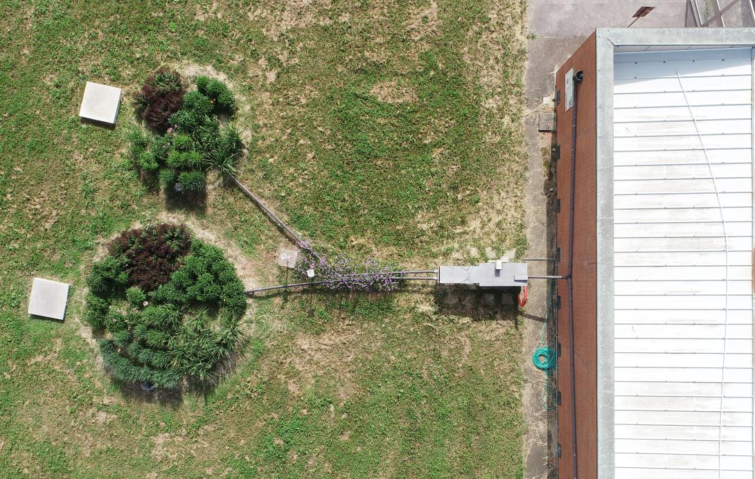
In 2011, two experimental rain gardens, with a circular area of about 10% and 20% of the drainage area, have been realized at the campus of Agripolis (University of Padova) to study their functionality in the climatic context of the Venetian Plane. This case is linked with case 9 to provide additional detailed process information (especially from the vegetation dynamics point of view) useful in the stakeholders' involvement (providing information about a correct design of a rain garden) and in the modeling actions.
3. Monitoring
Data recorded: 2015-present (rainfall, water levels and flows).
4. Stakeholders
University of Padua
5. Reference information
Department of Land, Environment, Agriculture and Forestry of the University of Padua