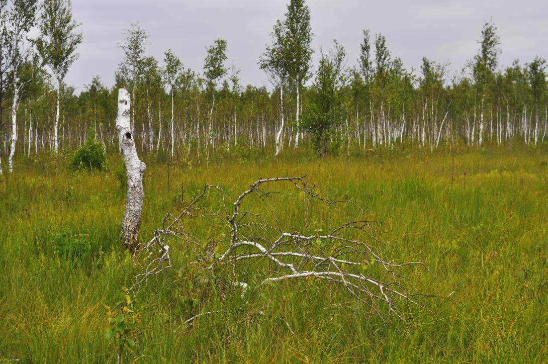
Located in the Podlaskie Voivodeship in north-eastern Poland, the Upper Biebrza region within the Biebrza National Park is characterised by its valuable and relatively untouched wetland ecosystems. These include alkaline fens, transitional peatlands, and bog woodlands. The peat soils prevalent in this area, combined with a largely unaltered hydrological system, contribute to its significant water retention and carbon storage capacity. This region plays a crucial role in maintaining unique biodiversity and ecological functions, making it a valuable reference for wetland conservation and sustainable management initiatives. The case study is located in regions that signed the Mission Charter of the EU Mission on Climate Adaptation.
.
Case study area
849 km² upper catchment
Climate and soil
Nemoral bio-region
Peaty soils
Sponge measure
Surface and groundwater
(Wetland restoration)
1. Challenge
For this case study the core objective is how to enhance the sponge functioning in a modern, optimized drained landscape. The goal is to improve the understanding of the system to increase groundwater levels, seepage, and stream discharge during summer. Some of the aspects that will be further explored include: stimulating groundwater recharge through infiltration and reducing drainage throughout the catchment.
2. Type of sponge measures
The study of the large peat wetlands of the Upper Biebrza aims to improve our understanding of the natural ‘sponge-like’ functions of these ecosystems. By investigating the interactions between groundwater and surface water and observing the effects of Nature-based Solutions (NbS) on them we aim to gain critical insights. This knowledge will be instrumental in developing effective conservation strategies for groundwater-dependent wetlands across Europe, ensuring their sustainable future.
3. Monitoring
We’re using an extensive monitoring network of water level, water temperature, surface water and groundwater gradient data to assess the area’s potential for optimal ‘sponge’ function. Advanced water modelling tools will be instrumental in our analysis. For the oldest water gauges we have hydrological daily observations since 1948- and meteorlogical observations since 1961.
4. Stakeholders
This project brings together a diverse group of stakeholders - from environmental conservation authorities such as the Biebrza National Park, to local residents, government agencies and the scientific community – to ensure that the area’s unique ecosystem is properly protected while balancing agricultural needs.
5. Reference information
Biebrza National Park (Case study owner)